Earthquake Forecasts
Due to the destructive nature of earthquakes, man has tried since antiquity to predict the occurrence of an earthquake in order to take appropriate measures to protect himself. Despite the amount of research undertaken
Over the last century, earthquake prediction has remained both an art and a science. Some methods are based on many well-documented measurements with a high degree of reproducibility.
Others are based on measurements from a single instrument for a particular earthquake.
However, with the uncertainties associated with earthquake prediction, no reasonable technique has been rejected, but presented instead with some idea of the quality on which the work is based.
By the term forecast of a specific earthquake, we mean: The knowledge of the place of genesis, the time of genesis and its magnitude. In other words, an earthquake forecast is the prediction, with certainty, that an earthquake of a certain magnitude is going to occur in a specific place and in a specific time frame.
In general, the term “earthquake forecast” means that space, time and size will be calculated by some method at some time before its occurrence.
Current System Technology

There are different space systems and technologies used for earthquakes.
- GNSS
Global Navigation Satellite System (GNSS) is the standard generic term for satellite navigation systems that provide autonomous geospatial positioning with global coverage.
- SAR
Synthetic Aperture Radar (SAR) is an active remote sensor based on the principle of radio detection and ranging (RADAR). It emits
electromagnetic pulses in microwave wavelengths to calculate the range of a distant target by measuring the time delay between transmission of a pulse and detection of the reflected signal.
- Electro-optical
Electro-optical sensors are passive remote sensing systems that collect electromagnetic radiation reflected from targets on the Earth that have been illuminated by the sun.
- Electro-magnetic
Electro-magnetic sensors measure electric and magnetic field as well as plasma characteristics to gather information about various precursor phenomena.
- Thermal infrared
Thermal infrared sensors are used to detect the long-wave infrared
radiation emitted from natural objects on the ground. They can be used to monitor for possible changes in ground temperature before an earthquake.
- GIS
A Geographic Information System (GIS) is a computer-based information system that can integrate information about features on Earth to provide a layered and highly interactive interface by capturing, managing, analysing, and displaying all forms of geographically referenced information. This information can be used for multiple applications.
- Telecommunications
Telecommunications is the transmission of information by wire, radio, optical cable, electromagnetic signals, or other means.
Information technology role for the prediction of an earthquake
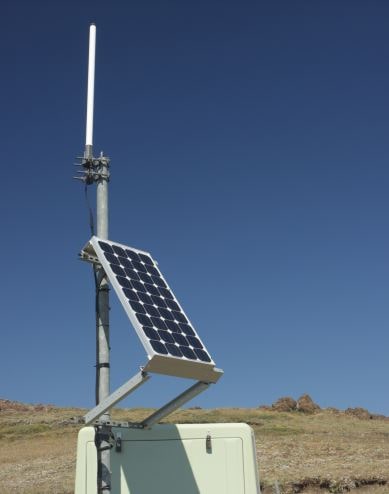
Wireless Sensor Network refers to a cluster of autonomous sensors that are spatially distributed and consistently detect measure and pass on the information over the network to monitor physical or environmental conditions.
Network sensor frameworks are seen by viewers as a vital innovation that will experience real arrangement in the following years for a plenty of uses, not the least being national security. Typical applications incorporated, however are not constrained to, information gathering, Monitoring, reconnaissance, and therapeutic telemetry. Apart from detecting, WSNs control and characterize data collected from sensors situated at places or on objects where adequate data is generated, which is further transmitted to Base stations where data is stored and analysed for further research.
Wireless Sensor Networks can be used to determine unusual movement of animals in an earthquake prone area.
Abnormal movement of animals such as rats, rabbits, reptiles etc. can be helpful in determining possibility of an earthquake. In this method, we attach sensors to animals which partially act as GPS (Global Positioning System) that can track their movement in a particular region. Sensors can also help in determining whether the animal is in fear or anxiety through analysing body temperature and other features.
Additionally, the ground water pressure can be monitored using sensors placed in underground water channels, wells etc. where underground water pressure can be correctly examined. Sensors can also record variation in temperature of ground water and other attributes that can help in discovering an earthquake situation. Various sensors can be placed at different locations where a constant ground water flow is maintained.
Finally, we have mentioned different applications from space and wireless sensor networks for earthquake alert and disaster management. We have seen different ways of determining earthquake precursors and generating alarm for an upcoming disaster.